
Quantitative Assessments of Water and Salt Balance for Cropping Systems in Lower Colorado River Irrigation Districts
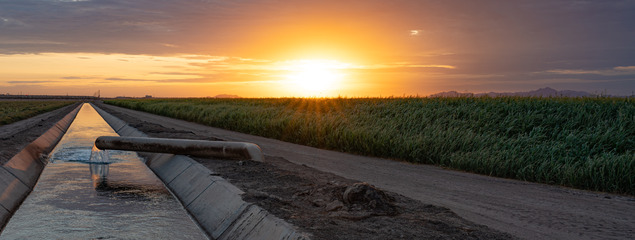
Irrigation and soil salinity management are of paramount importance to agriculture sustainability in desert agriculture. Because irrigation water and shallow groundwater that fluxes up through the soil have salts, some level of excess irrigation (beyond crop consumptive use) must be applied to leach salts below the crop root zone. The various irrigation systems utilized, and the management of these systems can have a profound impact on water delivered, leaching achieved, and resulting salt distribution.
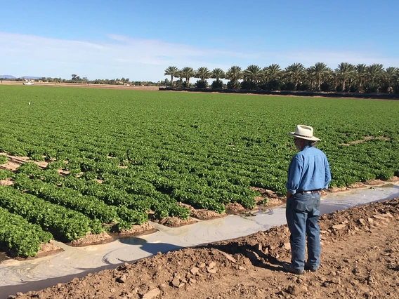
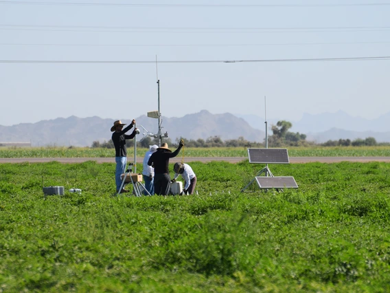
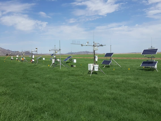
YCEDA has coordinated a large multi-institution cross-disciplinary project to quantitatively track water use and salt balance across typical crop production systems and rotations since 2016. Partners include the University of Arizona and USDA-ARS researchers, Irrigation Districts, United States Bureau of Reclamation, NASA, Arizona Commodity Councils, and others, including a group of University of Arizona-Yuma Systems Engineering seniors who completed a Senior Design project during the 2018-2019 academic year to support this project. Technologies such as electromagnetic surveys (EM38), Eddy covariance (ECV) systems, large aperture scintillometer (LAS) instrumentation, UAV with remote sensors, and satellites are being utilized to measure evapotranspiration (ET) and soil salinity levels at multiple scales. The robust dataset was used to develop DesertAgWISE, an irrigation management and soil salinity tool that assists growers with optimizing required irrigation for crop use and leaching.
Increasing Irrigation Efficiency
On-going
Project Dates
Jul, 2016 - Jun, 2025
Key Collaborator(s)
Project Supporter(s)
-
United States Bureau of Reclamation
-
USDA-ARS Arid Land Agricultural Research Service
-
Yuma County Agriculture Water Coalition
-
USDA/Arizona Department of Agriculture Specialty Crop Block Grant Program
-
Various Grower Cooperators
-
University of Arizona Experiment Station Strategic Research Investment Funds
-
University of Arizona Water, Environmental & Energy Solutions - TRIF Project Funds
-
Arizona Grain Research and Promotion Council
-
Arizona Iceberg Lettuce Research Council
-
Arizona Citrus Research Council
-
NASA Jet Propulsion Laboratory
-
NASA Goddard Space Flight Center
Resources
Related Videos
 Feb 24, 2022
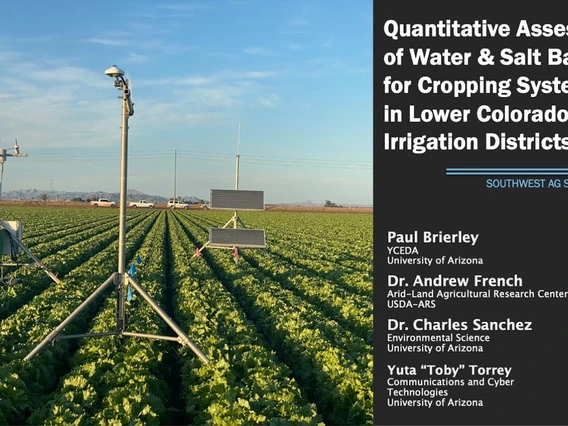
2022 Southwest Ag Summit Presentation: Water & Salt Balance
 Mar 18, 2021
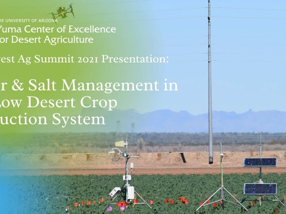
2021 Southwest Ag Summit: Water & Salt Management in the Low Desert Crop Production System
 Feb 21, 2019
Addressing Water Challenges in the Southwestern United States